Here's Brazil's Niagara and one of the most spectacular sights in the huge country. Best of all, it's so noisy that you can't hear the crowd.
Doesn't look like waterfall country, but that's your Yosemite bias showing. Anyway, we're about 800 miles inland and very close to the tri-point shared by Brazil, Argentina, and Paraguay. This part of the world, we may infer with Conan Doyle perspicacity, was once forested.
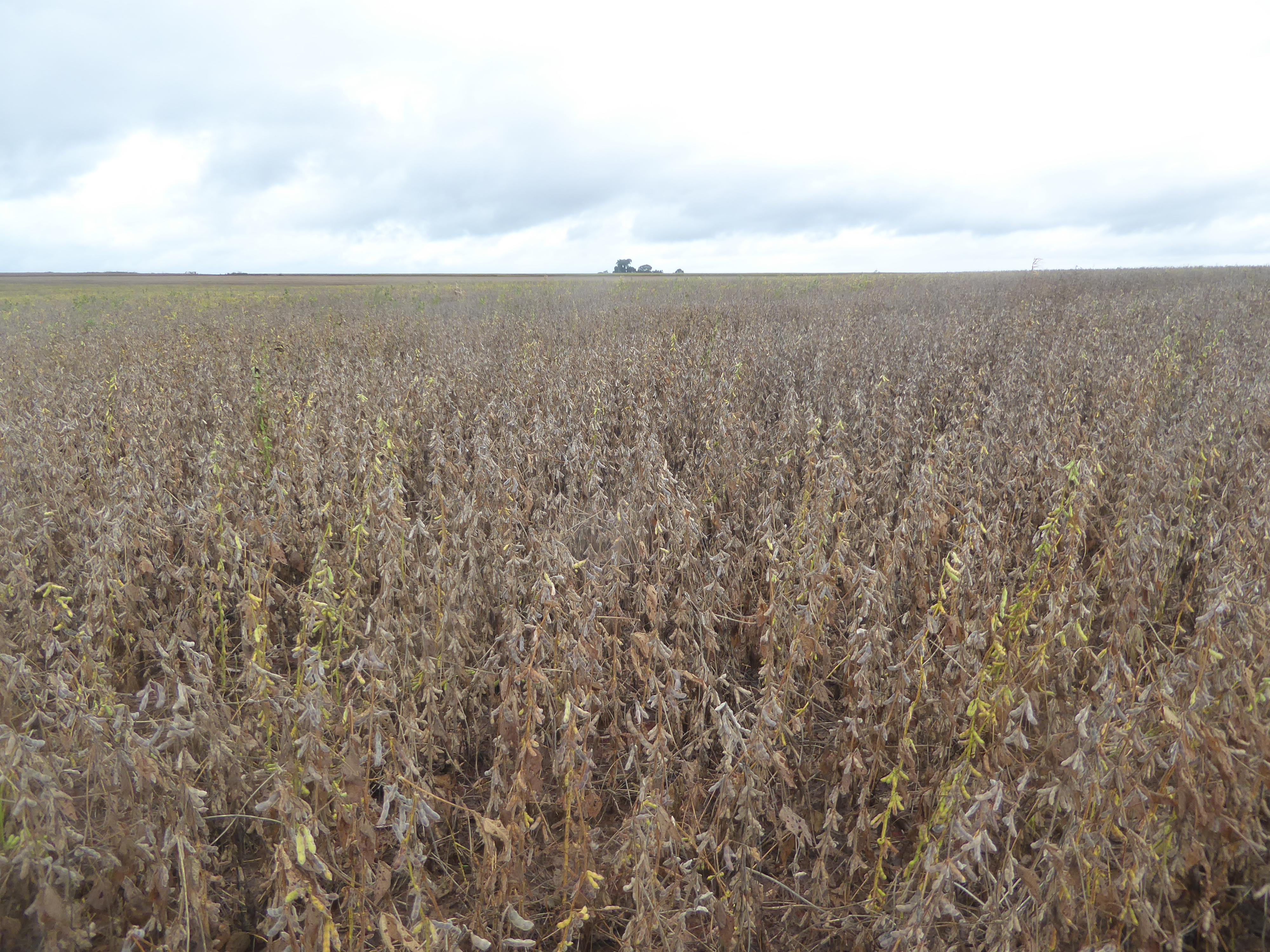
Not so much now. We're in Paraná State, which, in case you don't stay up nights memorizing this stuff, ranks second in the country for soybeans. Production in 2016 was 18 million tons, just behind Mato Grosso with 30.
Close to harvest, wouldn't you say?
We've only gone a couple of miles from the last picture, but soybeans here ignore the calendar.
We're on PR-874, a spur road dead-ending at the reservoir up ahead and formed by the great Itaipu Dam, which (lucky you!) we're not going to visit. But here's beans at yet another stage.
And Costco-sized bins to store them.
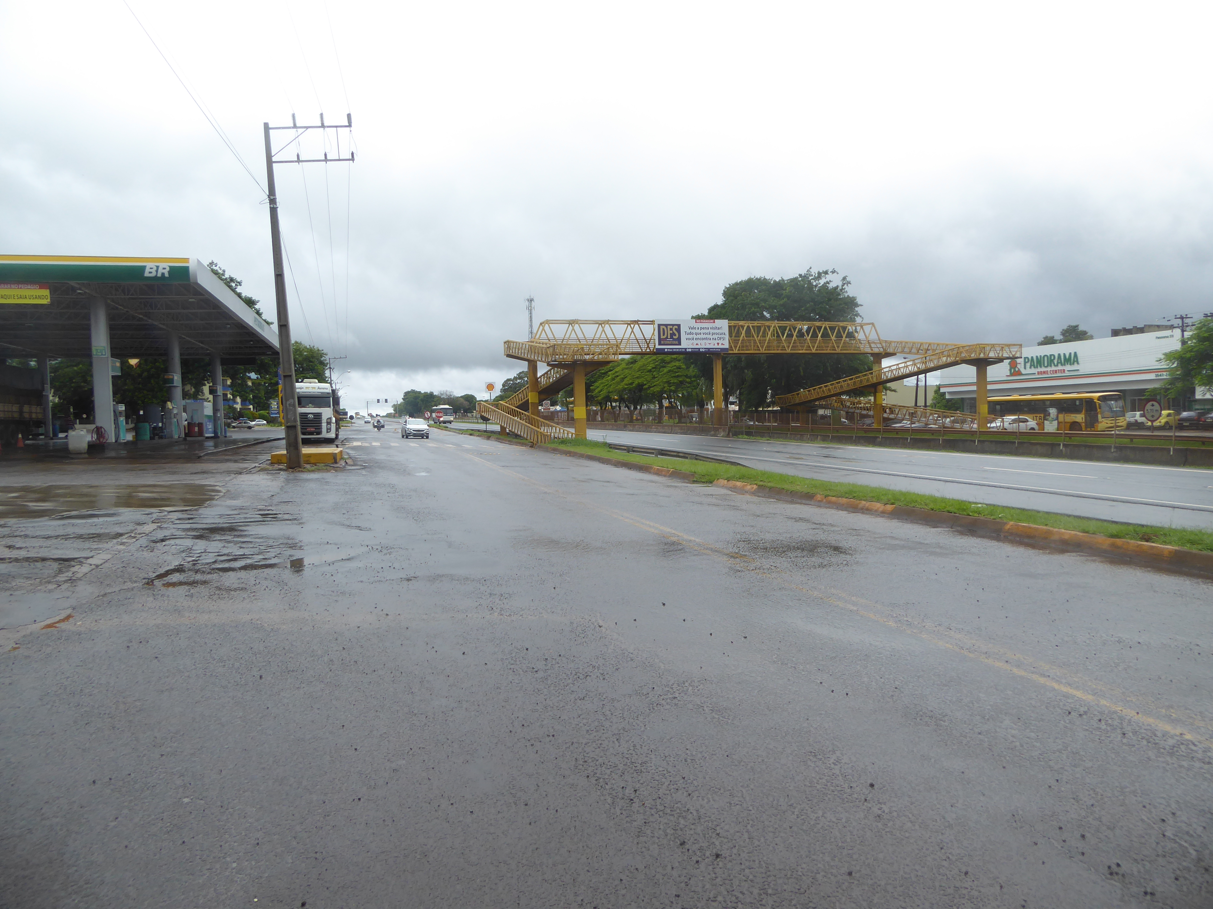
We've backtracked a few miles to BR 177, the main highway crossing from the coast near Curitiba right over to Paraguay.
There's a town here swimming in soybeans. It's Santa Terezinha de Itaipu, population about 25,000. Want to guess what houses here look like? Bet you can't with any accuracy.
We'll look at a few. You have to wonder what percentage of this one's cost came from its fence. Think the owner is the town eccentric?
Depressing, isn't it? People here are obviously afraid.
We need a good reporter to figure out what's going on. Yes, those are electric wires up top. And you thought Americans were nervous.
Here's a more subtle security system, with the electric wires almost invisible. I'm betting the glass panels get cleaned every week. So, in short, unless you think I'm cherry-picking, which I deny, this is not an impoverished community, but it's one with a social problem.
We've come about a dozen miles southwest to the city called Foz (that's Portuguese for "falls") do Iguaçu, population 265,000. Clearly, we must be in Brazil: what other country has swallowed so eagerly the Corbusian potion for urban bliss? In the distance between the high rises on the left, you can make out some more distant buildings. That's Paraguay's second city, Ciudad del Este, with a bit over 300,000 people. Between the two cities, and running in a trench marked at the left middle-distance by dark forest, the Paraná River is running off to the left and down toward Buenos Aires, about 300 miles to the south.
Here she is, bridged by the highway to Paraguay. The Itaipu Dam is half a dozen miles up to the right, so what you see is the water that's been released. Does seem rather an indignity, but I don't suppose the engineers who built the dam would agree.
Another view of Ciudad del Este, with an intervening field of soybeans, plus the hidden river.
We've come downstream about five miles. Looks like there are soybeans in Paraguay, too—and barges to float them down to the sea.
Little tricky footing here, but this is the tri-point. We're in Brazil. That's Paraguay over on the right, on the other side of the Paraná River, and that's the Iguaçu River coming in on the left. The bit of land on its far side is Argentina. We could get over there on another bridge, but then Portuguese Iguaçu becomes Spanish Iguazu. It's too complicated. We'll stay on this side.
A clearer view of the junction. That's the Iguaçu coming in on the left and joining the Paraná to flow straight ahead.
The Brazilians celebrate with an obelisk dated 1903 and painted in the colors of the national flag.
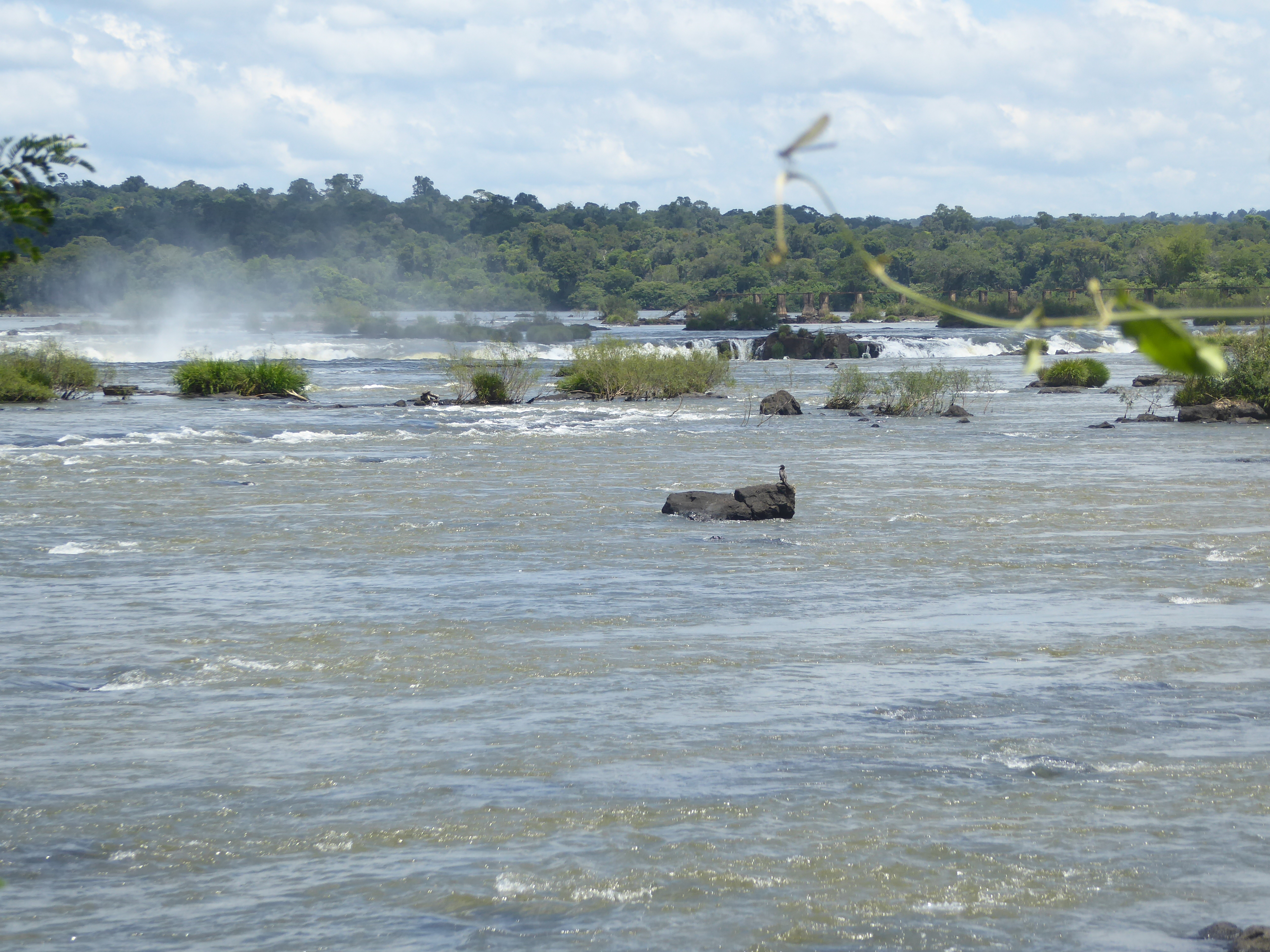
We've come a dozen miles upstream on the Iguaçu. The funny thing is that the Iguaçu starts only about 30 miles from the Atlantic but then foolishly flows west. The river takes its time about it, too, flowing for 800 miles to cover what Google Maps declares to be only 300. Anyway, the river looks fairly calm, with some shallows and occasional riffles.
If you're in a canoe, this would be a very good time to get to shore fast. See the right edge?
Something's happening.
Smoke maybe; fire not.
Oh, don't worry, nobody ever got killed looking at a picture of a waterfall.
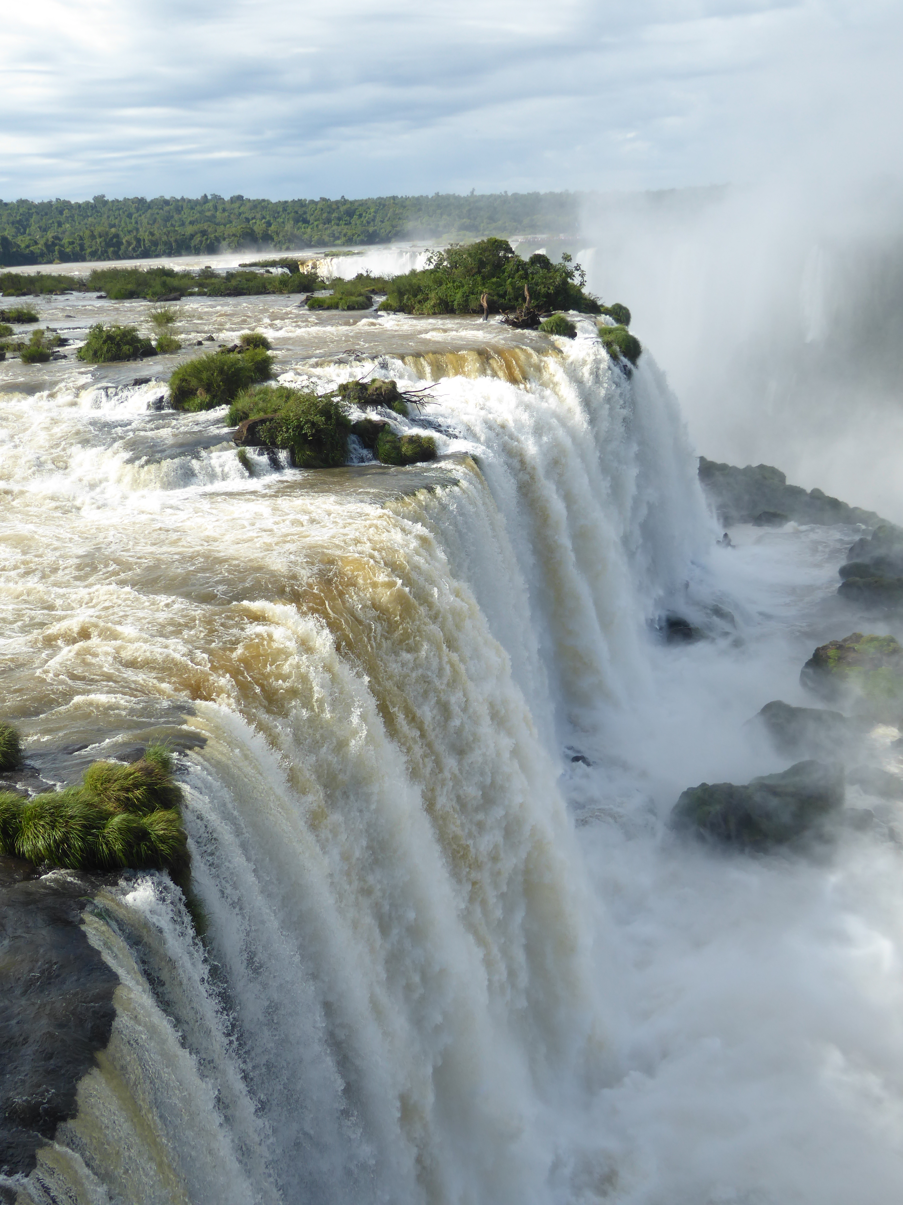
Now we're talking.
That's the same bit on the left, but you can see the horseshoe-shaped fall beyond. That would be Argentina on the far side.
The horseshoe-shaped bit is divided between Brazil and Argentina. The half on this side is the Garganta do Diabo; the farther half is the Garganta del Diablo. Fortunately, English is mercifully consistent: the Devil's Throat.
The Argentine side just keeps going.
Those little stray bits aren't so little.
The river below pulls itself together.
Tail ends come back.
Into the 1950s tourists could be as crazy as they wanted. She looks nervous, or at least very careful with her footing.
Franz Kohlenberger was a guide back then, in the distant days of 1962.
Things are a bit more organized now. In 2015 the Brazilian side had 1.6 million visitors; the Argentine side ran about a million.
Visitors can get close but are also closely controlled.
The river itself continues to smoke.
Arrivederci! Oh, damn, wrong language again.