Home UpShimla 1, Approach and Mall
The photographs in the previous folder were taken in the early 1990s; the photos in this and the following ones were taken in 2007.
We're leaving Chandigarh and heading into the clouds ahead.
A temple (and old road below) at the foot of the mountains.
Commercial vehicles (and that includes rental cars) must pay a stiff daily toll when entering Himachal Pradesh, here near Parwanoo. Comparable fees are unfortunately charged on entering the Punjab and U.P. as well.
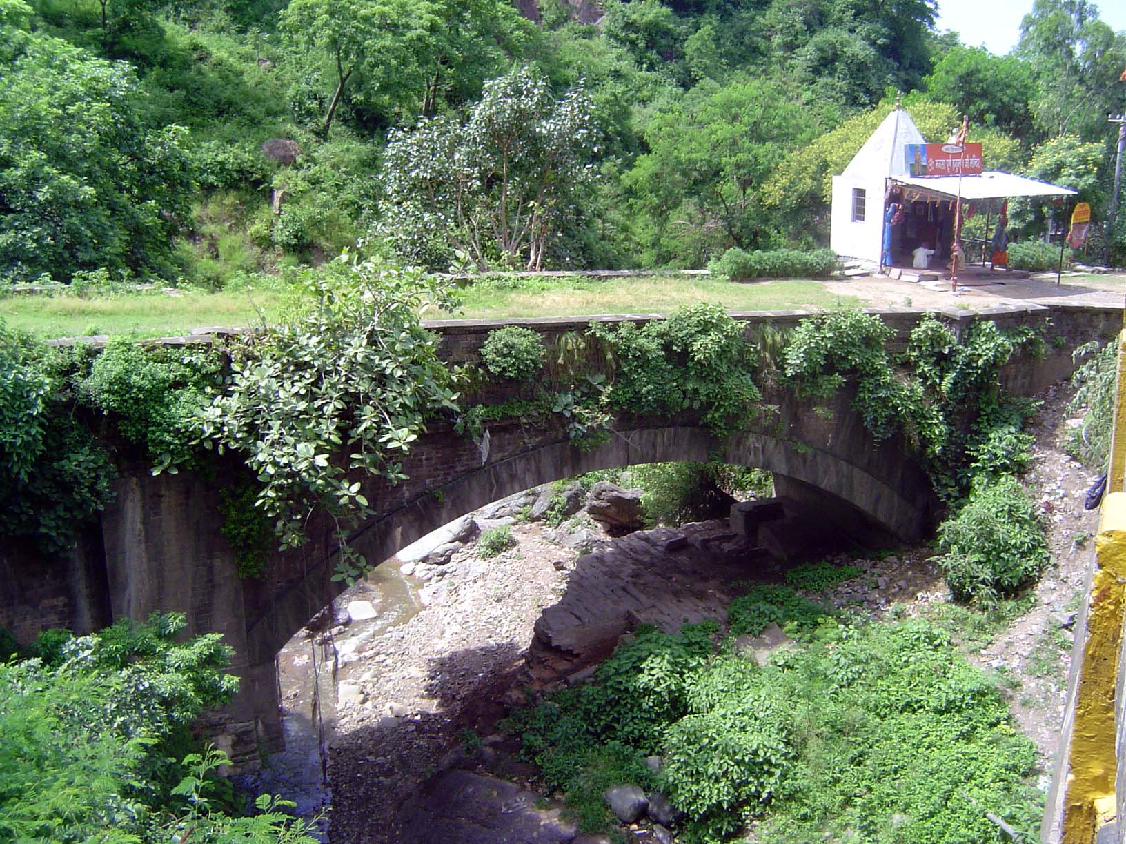
A bridge on the old, bypassed road.
Cultivation continues wherever possible, with wicked erosion on slopes presumably once forested.
Settlement is scattered but surprisingly dense.
An old highway bridge has been converted into the foundation for a McDonald's.
Steady as she goes, or climbs.
Shimla is draped over a sharp ridge, and though there's a road up top traffic is almost entirely forbidden and instead forced to use roads down on the steep slopes below the ridge. Here's one of those roads. Buck writes that Combermere, Commander-in-Chief and Governor General in the late 1820s, "amused himself, and benefited the public, by superintending the formation of a fine, broad, level road round the Mount Jako, about three miles in length. It was worked entirely by hillmen and exceedingly skilfully done." A few years later, in 1834, M. Victor Jacquemont paid a visit to Major Kennedy. "We gallop an hour or two in the morning on the magnificent roads which he has constructed... At sunset fresh horses are to the door, and we take another ride, to beat up the most friendly and lively of the rich idlers and imaginary invalids whom we may chance to meet.... I do not recollect having tasted water for the last seven days... I cannot tell you how delightful this appears to me, after the dryness, insipidity, hardness, and brevity of my solitary dinner, during two months in the mountains." Work continued on these roads. Buck writes: "I believe... that it was Lord William Beresford... who suggested to His Excellency [Lord Lytton, viceroy in the last 1870s] the widening of the road round [Mt.]Jakko, and was the first to drive over it with a phaeton and pair."(Quotations from Edward J. Buck, Simla: Past and Present, 1904, 2nd ed. 1925.)
There aren't a lot of horses or carriages now, but there are still some quiet places to sit along the ridge. The benches look like Raj leftovers; not so the railings.
Better, no?
We're on the ridge now, several hundred yards east of the quiet benches. The mall in that section, in the distance here, is mostly lined with government buildings, but commercial developments start about at that domed building in the left center here. The central building is the General Telephone Exchange but is anachronistically called the CTO, for Central Telegraph Office. It was built in the 1920s, shortly before the domed building.
Here's that same domed building, along with the beginning of the commercial area.
Since traffic is not permitted on the ridge, everything has to be carried up by porters, such as the two here.
The paths the porters use are pretty steep, especially with a headload.
Down the ridges, metal-roofed wooden buildings sprawl.
Looking up from below.
A thicket of wires.
Scandal Point, or so this promenade was called. We're at the east end of the ridge, looking west. The mall is on the left, where it curves and continues no longer on a ridge but on a gentle contour. Christ Church lies behind the camera, as does the steep hill of Jakko. The crane is part of a project to rebuild the Gaiety Theater.
A couple of hundred yards west from the previous picture. The tower belongs to St. Andrew's Church, visible in the previous picture; the string of buildings this side of it once housed the town's banks.
The morning is young; later, this place will be crowded.
Squint a bit and you can imagine you're in England.
Business hours.