Here we go, from Bangalore to Hampi with special attention to the Tungabhadra Dam and the river downstream from it.
Trying to get out of Bangalore. Will the metro help? If experience elsewhere is a guide, the answer is no.
National Highway 4 is part of the "golden quadrilateral." The van is one of many that ferry new Maruti cars south from the assembly plant in Gurgaon. This one, heading north, just might be empty.
Another one, this one loaded. If you get the impression that "controlled-access highway" has a different meaning in India than in most other countries, you'd be right.
Yes, it's great fun to mock the English until you have to ask for help in Kannada.
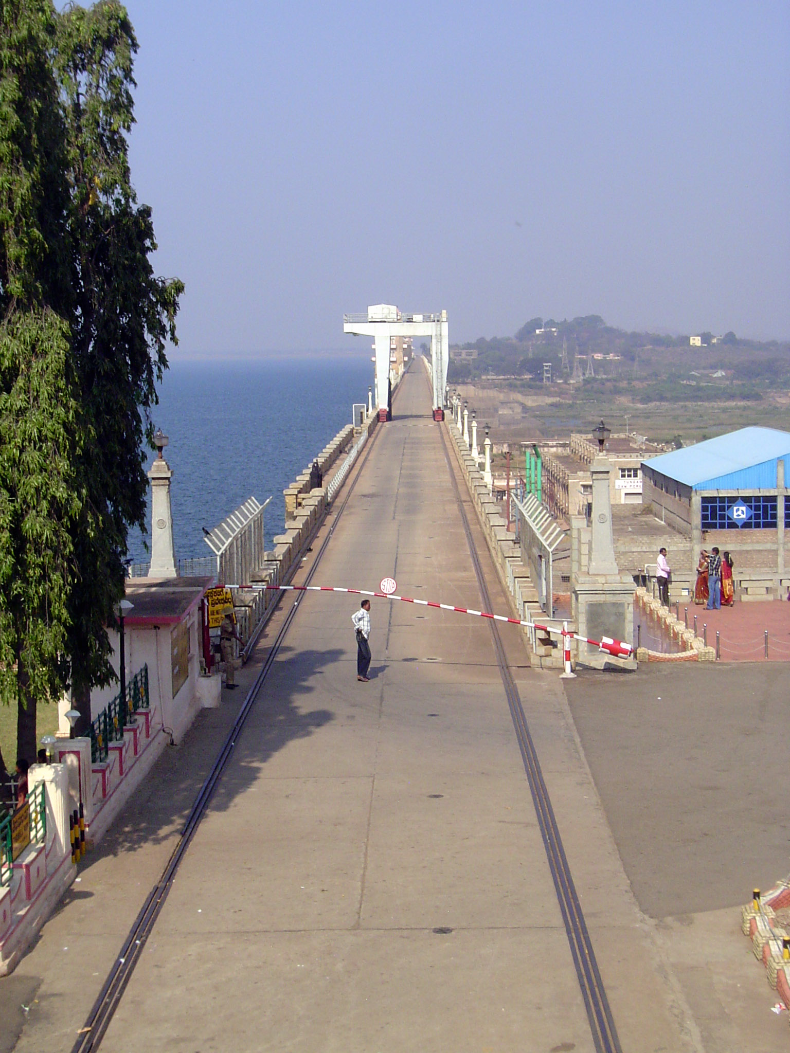
We followed NH 4 to Chitradurga. Then we switched to NH 13, heavily travelled (still with those Maruti vans) but only two lanes. We left it at Hospet and have come a few miles west to the Tungabhadra Dam. It's more than 30 years since we last saw it. Back then, you could walk across the dam. No longer. More security consciousness. Nobody in 1980 thought that anybody would be crazy enough to try blowing up a dam.
Upstream face.
Downstream, with the massive right-bank high-level irrigation canal. Farmers in this near-desert need that water badly.
There are two right-bank canals, one higher than the other.
The dam in 1981, with a good view of both the upper and lower right-bank canals.
The reservoir has an annual fluctuation of about 60 feet. Here in January it's low, but in August it can be so full that water releases are necessary, even if they create floods downstream.
High and dry.
We've gone downstream perhaps 10 miles and are trying to reach Hampi, but we're caught in traffic again. We could get out and find the problem.
Oops! One step back, right now, would be a good idea.
There's a lot of mining and heavy industry in the neighborhood, which has implications for an archaeological site.
Here's the Tungabhadra River, about 12 airline miles below the dam. The granite jumblies are characteristic of the Hampi neighborhood.
The rocks make excellent washboards. Someday, pants will come in any color you want, so long as its blue.
A ferry. There are no bridges nearby, but stay tuned.
Unloading.
From the dock, passengers walk up to catch a ride.
Here's the fuller picture. There's a village, Anegondi, on the far side. The residents wanted a bridge. One was sanctioned in 1993, and work began in 1997. It was halted in 1999, after protest from a visiting UNESCO official who said that the bridge would attract heavy truck traffic that would disturb the Hampi ruins. Her concern led UNESCO to put Hampi on the official list of endangered World Heritage sites. Work was halted for about six years. The site was removed from the "in danger" list in 2006, at which time UNESCO agreed that the bridge could be completed with severe restrictions on its use; meanwhile, a site would be found downstream for an unrestricted bridge. Work resumed on the Talwarghatta Bridge (to give it its name) in 2009. The bridge was cable-stayed, with towers on each side from which cables fanned out. Only a couple of weeks after work resumed, concrete was being poured to fill the gap remaining in the middle of the bridge. The structure collapsed, killing eight workers and injuring many others. And so the ruins sit. The dark discs on the bridge are coracles, a kind of boat found very widely, even though it's hard to get anywhere in them without going around in circles.
Collapsed posts and bits of cable.
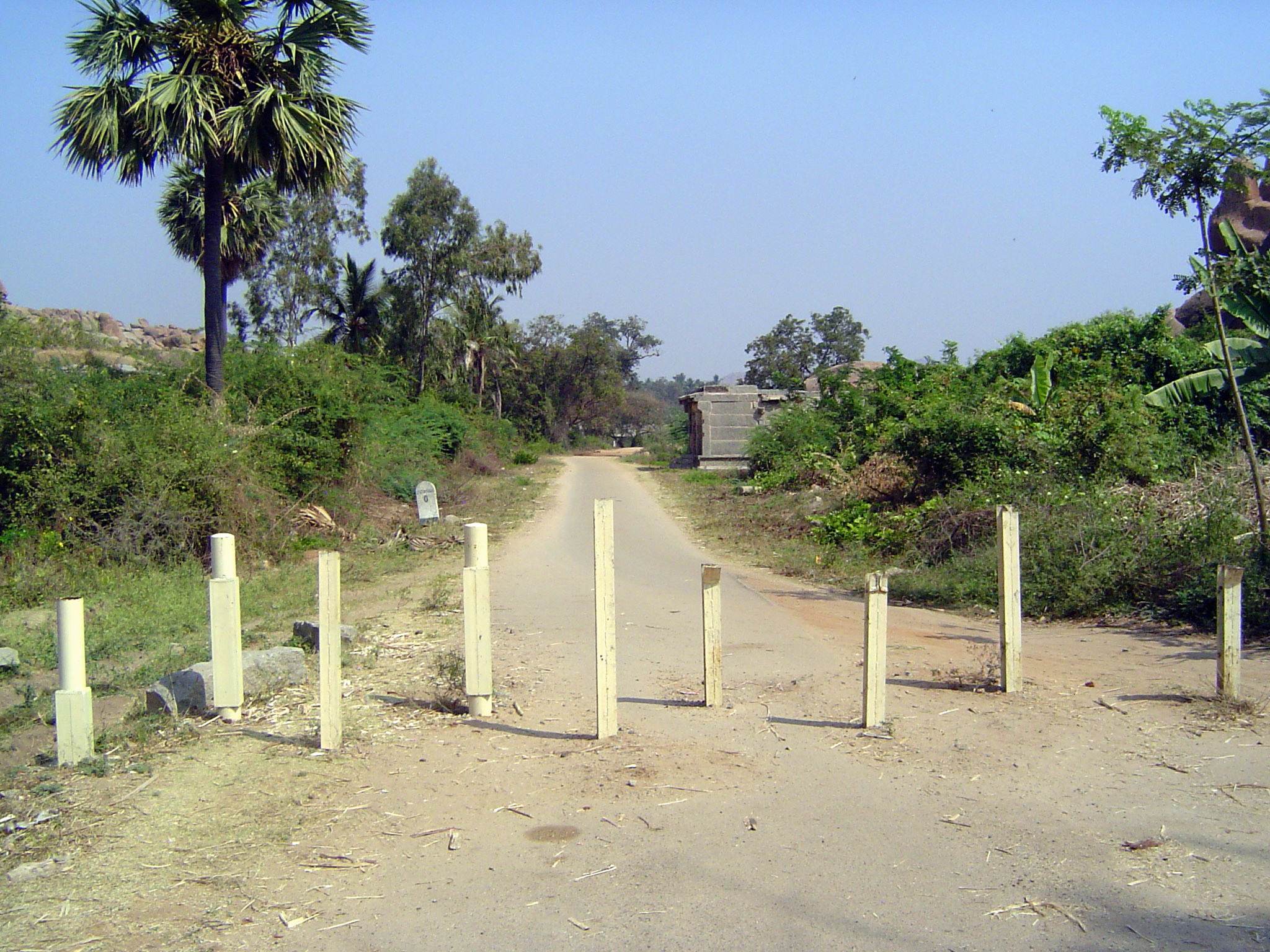
The approach road to the bridge.
Centuries back, people here knew how to make things last. Here's a well. The "diving board" once was part of the lifting apparatus.
Steps down to the water.
This is near the village of Malapanagudi and on the road between Hospet and Hampi. The well is deep.
Something splashed.
There's the culprit. Talk about an island ecosystem.
Another tremendous well, this one within the command of the right-bank Tungabhadra canals. The photo was taken in 1981. Heaven knows exactly where.
And here, within the Hampi site, is the Hiriya Canal, now called the Turtha or "Swift" Channel and dating back to about 1400. The point being that this is a desert, with about 11 inches of precipitation annually. To found an empire here required elaborate water-control works. The Tungabhadra Dam is just the last chapter in a long story.
The goats are not impressed. The road they're walking on is an embankment built up centuries ago to form the canal bank; the land slopes to the left into a valley irrigated by this canal.
The so-called Fourth Outlet.
Water is used lavishly on bananas.
The juxtaposition of wet and dry is sharp.
The channels have been heavily modernized. So, too, the crops, with bananas replacing the historically more important staple crops, especially rice.
At first blush, the canal walls seem crude.
The control works are primitive, too, but the granite blocks probably have a long history.
Sometimes you forget you're in a desert.
A new bridge leads to an old temple.
The same irrigation channel passes this, the Chandikesvara Temple, built in the locally standard way with a granite base and brick-and-plaster top, minus most of the plaster.
The interior is corbelled, with a transition from rectangle to cylinder.
Which gets us ready for the grand monuments. With a flourish, we can start here, at the Talarigatta Gate through the city wall.
The gate had a brick and plaster superstructure with rooms, but they're gone.
The stone base remains strong, although the city never had to face an attack. When it finally fell, in 1565, it was undefended, its army having been defeated in a battle 60 miles to the north. There was the inevitable looting, but even a fierce invading army probably draws a line at dismantling zillions of granite blocks.