Mahabaleshwar was the hot weather capital of the Bombay Presidency. It owes its existence to the enthusiasm in the 1820s of Boy Malcolm, that is, Governor John Malcolm, who got his nickname when joining the East India Company at age 12. He went on to become the author of several books, including A History of Persia and Memoirs of Central India. He was also a diplomat, chiefly to Persia, where, among his accomplishments, pride of place may go to his introducing to that country the potato, sometimes called, in Farsi, "Malcolm's Plum."
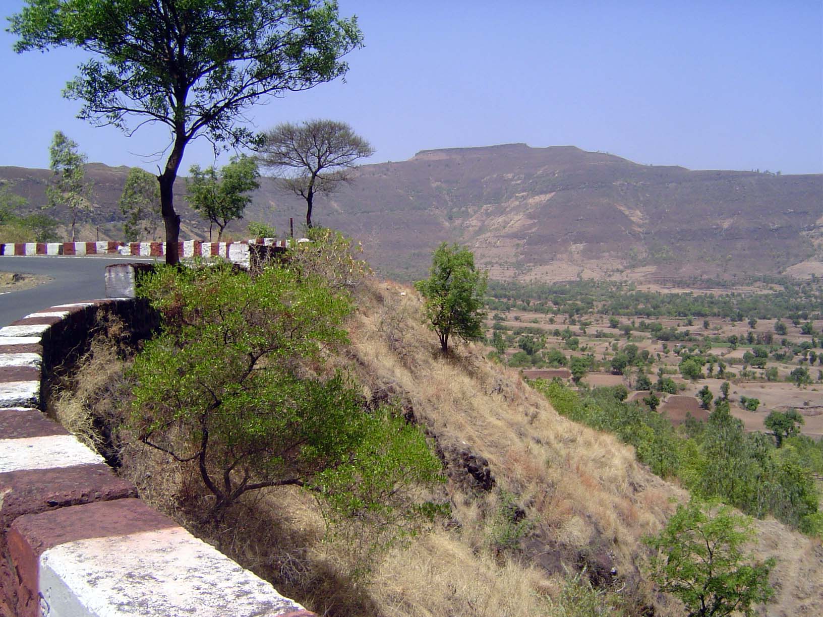
The climb begins. The British-era road can be seen slowly but steadily rising a bit over halfway up the slope in the distance.
The view back the other way toward the spot where the previous picture was taken. Note the terraces in the lower right.
Hard to believe, but halfway up the hill there's a traffic jam in a subordinate hill-station, Panchgani, "Five Hills."
There's also a remarkable bakery.
Remarkable, that is, for its age.
A closer look at some terraces, cut wherever the slopes aren't too steep.
Up top on the Mahabaleshwar Plateau: Christ Church, built in 1867. Austere, but it's in better shape than it was before recent repairs to the roof.
Mahabaleshwar began as Malcolm's army sanitarium. That was 1828. Fifty-some years later, the sanitarium, on the right here, and Bartle Hall, on the left, became an army officer's club. Now they're simply the Mahabaleshwar Club.
Interior of Bartle Hall. Bartle Frere, Governor of Bombay in the flush 1860s, leans against the mantlepiece. As Commissioner of Sind in the 1850s, he initiated Karachi's growth as a major port; later in life, he would run into disaster in South Africa.
Garden view from the rear of the hall.
The library is a window into the mind of British India.
On the club walls, photos of the town as it was.
We've gone north a few miles to Old Mahabaleshwar, where people have come to visit a nearby temple.
We'll ignore that temple and head to the edge of the plateau, here looking east.
At that spot, on the lip of the plateau, there's a temple that is supposed to represent the origin of the great Krishna River.
A deity carved on the temple well.
In front of the shrine there's a pond that in the wet season spills over the lip.
Even in the dry weather, a few people come by to say a prayer and collect a bit of water.
The shrine.
The view east.
Nearby, one of the many strawberry fields for which Mahabaleshar is famous.
These berries are irrigated by sprinklers fed by this well.
Fresh-picked.
The view west is a sheer drop to the coastal plain. These are the Sayadri Mountains, better known as the Western Ghats.
Another view. The sea is 30 miles to the west.
It's a popular place, reached by this dead-end road on which innocent motorists get caught in a tangle of vehicles trying to turn around.
Where are they headed? It's supposed to say "Arthur's Seat."
Here it is.
The view is fine.
Back in Mahabaleshwar, there's an old cemetery.
One of the larger monuments.
The N.B. is a little puzzling. It's not New Brunswick, though there is a Canadian Thurso. It's "North Britain," or Scotland.
A recent monument, testament to the interest of some residents in the town's history.
The tombstone of Caroline Emily, wife of Sir George Sydenham Clarke, Governor of Bombay, 1907-13. Clarke's daughter died at about the same time. He himself soldiered on, initially sympathetic to Indian nationalist sentiment but gradually turning hostile, even to democracy in Europe. The DNB ranks him in later life as the "highest-placed right-wing-extremist in British public life."
The simple inscription.
A surprising number of graves are of American missionaries, in this case a woman who presumably came up from Ahmednagar to regain her health. "Aurburn" presumably is Auburn.


