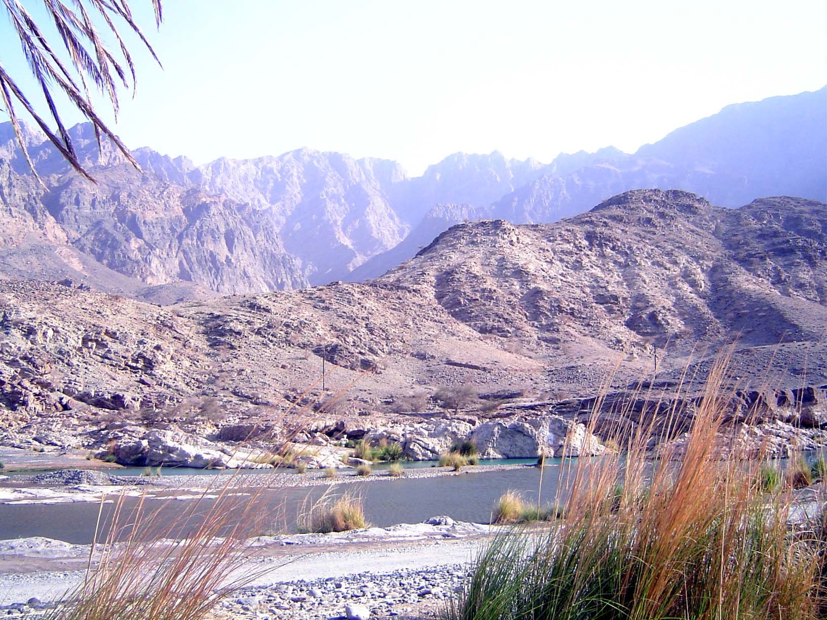
Looking at the mountains hemming Muscat, it's hard to believe that an hour's drive away there's a river with clear, flowing water. But the Hajars, the mountains of eastern Oman, are chiefly porous limestone, and there are a few places where springs feed streams with water enough to swim. One is the Wadi Tayin, which descends from the mountains to become the Wadi Dhaiqah. Diverted, the stream irrigates the gardens of Mazara, only a few miles from the sea.
It's rude to laugh at the mistakes of non-native English speakers, especially when one's own Arabic is pathetic. Still, it's hard not to smile. The point of the sign is that the stream can rise dangerously fast.
It's calm today, and irresistable to some.
Just downstream from the last picture, the waters of Wadi Dhaiqah are captured by an open-mouth weir and brought into a ditch.
The weir blocks the stream but is leaky enough to allow some water to continue downstream.
Most of the water is now in the canal behind the stone wall. In the background, the Hajars.
We're in the palm groves of Mazara now.
Once, there was a lot of agricultural variety here, but now even a cow is unusual.
The one constant: date palms living or dying.
Stone collars protect them from floods.
Holdings are separated by walls.
Lorimer's classic Gazetteer of the Persian Gulf (1908-13) says that Mazara has 330 houses, 1,700 people, and 12,000 date palms. The numbers now, almost certainly, are much smaller.
A gas station stands alongside the fine highway running from near Mazara to Muscat.
With roads like that, there's less need to live out in the village, so this abandoned Mazara house is falling apart. It has the locally typical stone basement, mud upper story, and pointed-arch windows characteristic of wood-shy Oman.
A parting shot.