We begin with the capital, once so isolated that its residents didn't even consider it part of Oman.
Here, near Hatta, is the main border station for traffic from Dubai. Inside, there's lots of A/C, and you can watch ESPN sports on monitors.
Now there's a 120-mile run down the Batinah, the most fertile part of Oman. OK, that's not saying a lot in a country where less than a tenth of one percent of the land is arable. Still, there are settlements all along the highway, which is a high-speed, four-lane road.
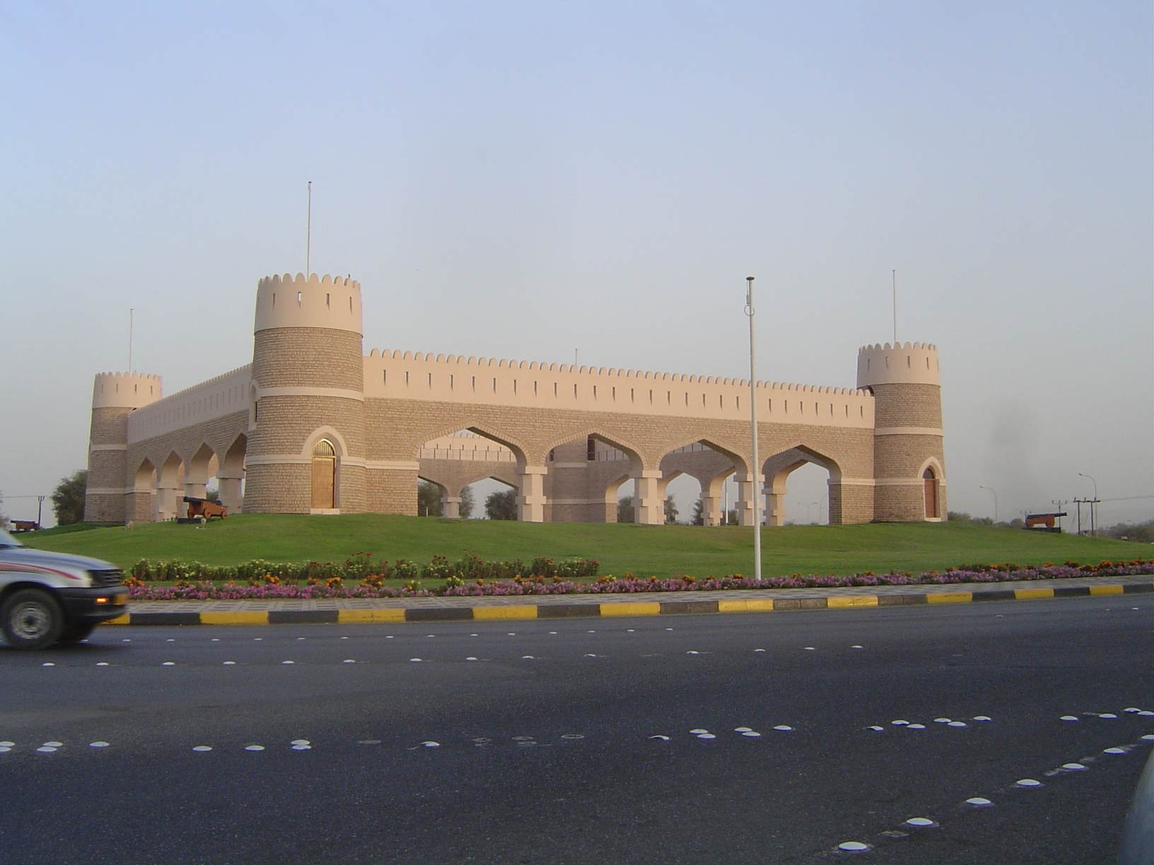
The only things to spoil cruise-control are the traffic circles every couple of miles. Each is distinctively decorated.
Here, closer to Muscat, is an allusion to the old forts still common in Oman.
Muscat has grown west a dozen miles toward and beyond its airport, sothe parts of Muscat and its commercial neighbor, Muttrah, constitute less than a tenth of the built-up area today. The axis of growth coincides with this road, Sultan Qaboos Street. Its landscaping is reminiscent of Singapore, despite Muscat's having less than five inches of rain annually.
Bus stop.
The snag is that there are almost no pedestrian crossings, so without a car it's hard to cross this city-splitting road.
With a car, you can enjoy the flowers as you speed past them.
Typical juxtaposition of rocky mountains, white houses, and irrigated roadsides.
Edge of town, pardner.
Snack?
Buy a car?
Now you know where Las Vegas gets its architects.
More and more like Vegas.
We're finally in the topographic bowl of historic Muscat. It's on the eastern fringe of the city but houses the government and a small part of the population, which has risen since 1900 from something like 25,000 (or perhaps twice that; there's much uncertainty) to 635,000. /P>
Houses are nothing fancy but are fitted with antennas, dishes, and air conditioners.
If you don't notice how spic-and-span the streets are, wake up. Like the rest of Oman, Muscat is—another echo of Singapore—astonishingly clean compared to other cities in this part of the world.
Sultan Qaboos' Alam Palace—rather like a plastic-pack of golf tees, but no worse than plenty of other buildings from the 1970s.
Across the street is the Mirani Fort, begun by the Portuguese.
The same fort. The lights on the left are the Jilali Fort, on the other side of the palace.
Still at night, a remarkable stretch of the Muttrah waterfront called Sur Lawatiya, founded about 1700 perhaps by Portuguese or Hyderabadi traders.
The houses form a perimeter encircling 218 houses, big and small, 30 new but most old. In the mid-1980s, sixty were uninhabited, but renovations have probably reduced that number. The houses can only be reached via two gates, formerly locked at night. Strangers were excluded even in the daytime. (For more on this, see Salma Damluji's very useful but scarce The Architecture of Oman, 1998.)
Don't forget to buy your parking permit.
In the light of day, new government buildings go up next to the sultan's palace.
Jilali Fort.
Muttrah waterfront by day.
A closer view of the port, the Mina as Sultan Qaboos.
The corniche.
Behind it, Muttrah's Shijayiyah Market is open.
It's real, not touristic.
Not cheap: something like 20 riyals or more than $60.
If you really don't like shopping in these places, you can go to the Carrefour hypermart, but it's out by the airport.
Welcome shade.
Back street.
Looking over the roof of the market to Muttrah Fort.
At anchor: old and new.