A large part of the water irrigating the date palms around Nizwa comes from Wadi Tanuf. Take a look?
There's an abandoned village where the wadi leaves the mountains. Typical construction: cobblestone base, mud-brick superstructure.
Nearby, a canal (said to be 300 years old) hugs the canyon wall behind a dry streambed.
A recent (1989) dam. This is the upstream face, dry as a bone but intended only to slow occasional floodwaters and in that way increase aquifer recharge.
Farther upstream. Not very promising.
Still, there's obviously groundwater.
Surface water is so uncommon that the government grades roads right through the deepest part of the valley.
The valley narrows.
The road ends in a jumble with a continuing footpath.
More signs of water—and of habitation.
Irrigation channel, footpath, and fenced date palms.
Room for a bit of field crops.
Bananas! Who woulda thunk?
Cross-section from footpath down across arable land to wadi floor.
Gen-set and diesel. What for?
To pump water into tanks.
The settlement: a dozen houses, with greenery upstream and down.
So much for ladders of palm.
Roof-top terrace.
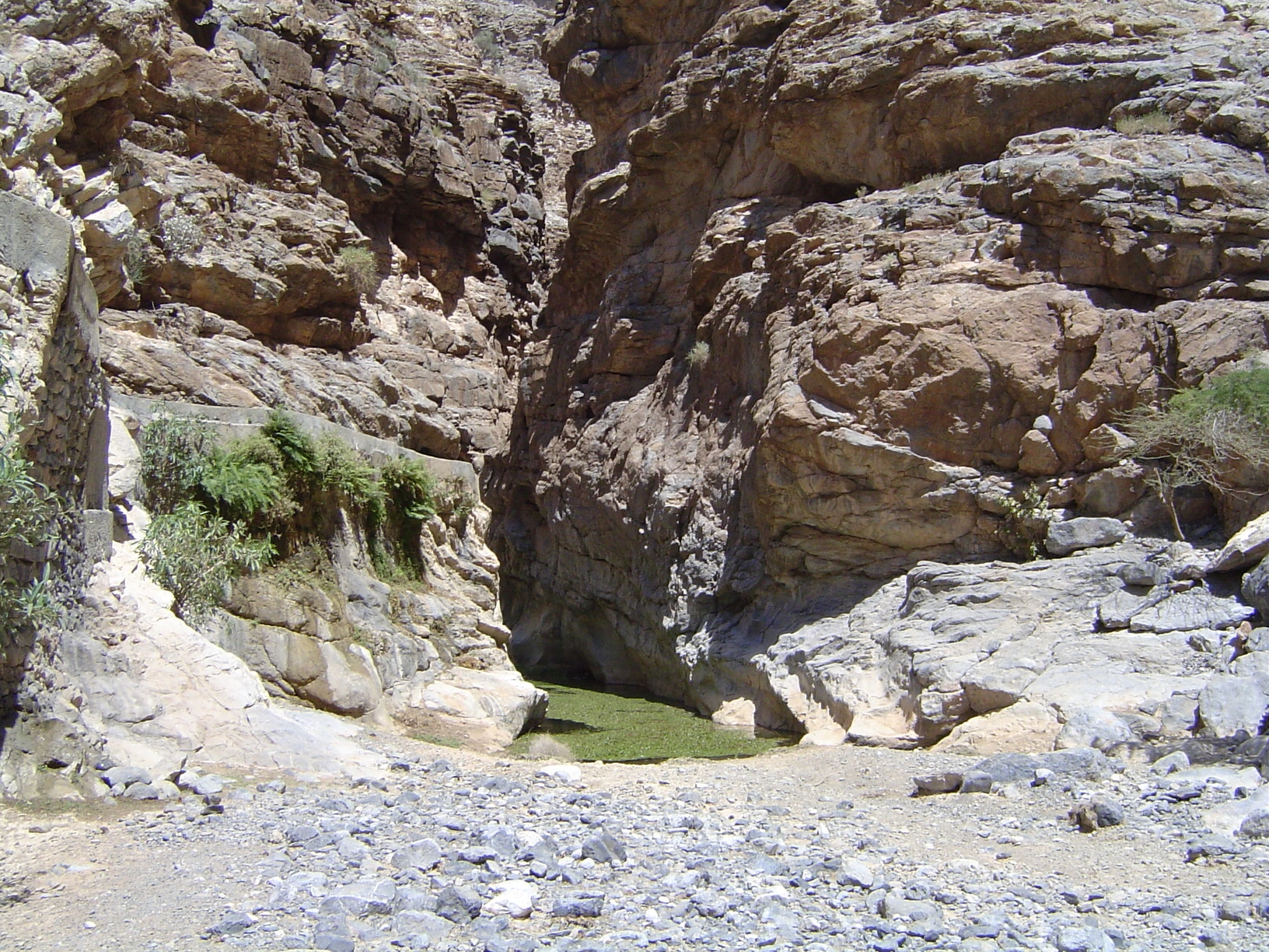
Above the village, the valley becomes a slit.
Curiosity overcomes hunger: note how the fronds have been stripped wherever the goats could reach.
End of the path: water between perpendicular walls. The water was overgrown with... well, with a plant of some sort.
Footing for goats.