Home UpJohannesburg to Ladybrand
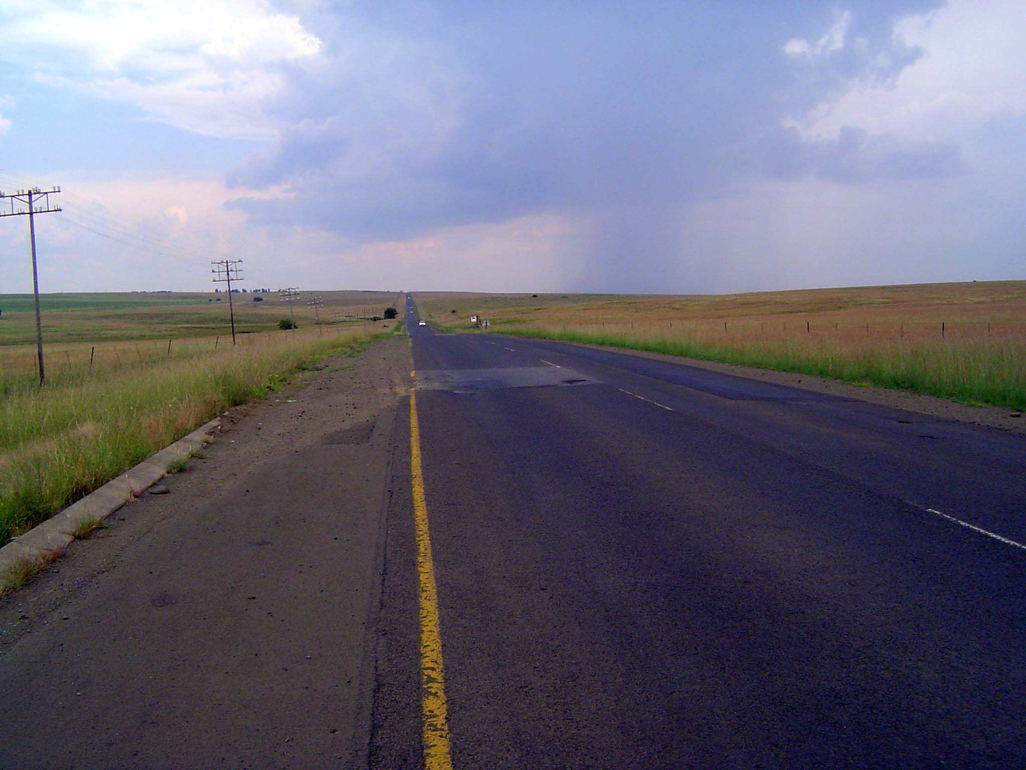
Roadtrip: call it 800 miles, most of it heading south from Johannesburg to the tiny town of Clarens, then turning west and skirting Lesotho for a hundred miles. Pretty country, with lots of Dutch Evangelical churches, houses of stone, and that entrenched racial gulf.
If the condition of signs is indicative, there's economic trouble ahead.
The Evangelical Reformed Church or Evangelies-Gereformeerde Kerk. What kind of church needs this kind of security? It's a rhetorical question, unfortunately.
Main street, caught in a time warp from fifty years ago.
What was stylish in the 1950s remains as it was. No preservationists have had to fight for their heritage.
Call it multicultural. The interesting thing is the combination of land-uses, by no means foreign to traditional Islam but startling in these modern clothes.
Mosque entrance.
Supermarket with no parking problems.
An older church in the heart of Vereeniging.
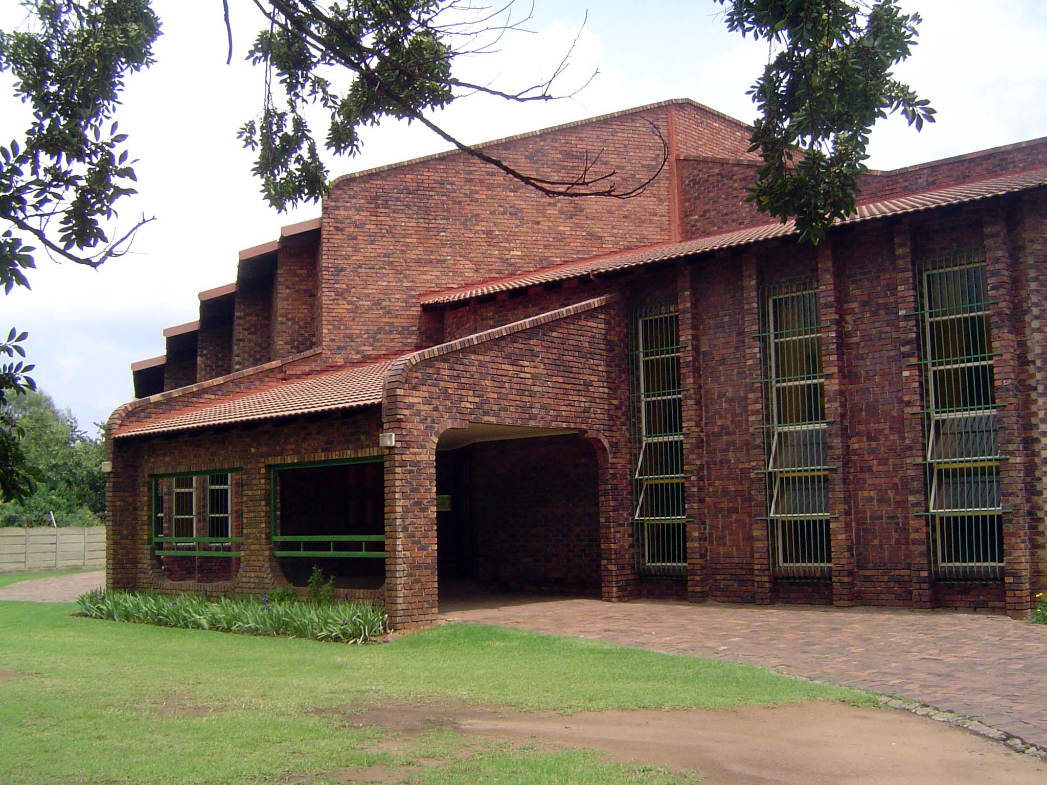
A house that presents an electrified wall to the street. The house itself does a fair imitation of a bunker.
South of town, the road crosses the Vaal River. The headworks on the other side divert water to Johannesburg.
There's a reservoir upstream, which means second homes. Tempted?
Plenty to do!
The town of Oranjeville almost gets its feet wet between two arms of the reservoir.
Pride of "The Cliffs."
Less brash, an Oranjeville church.
Continuing south, with world-scale fields of corn.
A hint of farmsteads lost as farms grew larger.
The road drops toward Frankfort, a huge grain elevator in the distance.
Entering the town. The palms are startling, no?
The street is as wide as Mormons would make it. Very low key. Quiet, too.
The local church rises to greater heights.
The town was established in the 1860s, so why is the church so much more recent? Thank the British, who during the Boer War burned down the old one. Odd that the architect here should be English, but that pattern—English architect, Boer contractor—is a common one.
A local school preserves the old separation, 20 years after the release of Nelson Mandela.
Shall we look inside a grocery store?
Women here bake. Call me Sherlock.
No place to put all the stuff.
Not that there's a connection, but how often do you see this business on main street?
The town park commemorates the pioneers.
Continuing south: the Liebenberg Vlei, a tributary of the Vaal.
Farmland on the road to Tweeling.
An isolated farm.
The main intersection in Tweeling, a withered place.
Gas station.
Town hall.
Far and away the most impressive building in town.
Twenty miles farther south, Reitz is a bigger place and in healthier condition.
Some of the secondary streets speak to someone's ambition, once.
Bank.
Town hall.
Church.
Approaching Clarens and the outliers of the Maluti Mountains.
Clarens church.
A house in Clarens. The town draws lots of visitors with its quasi-mountainous setting.
Merchants aren't far behind.
Town directory.
Paired with Clarens, as usual, there's a black township.
Heading west from Clarens to Fouriesburg.
Fouriesburg church.
The town isn't called Fouriesburg for nothing.
The church cornerstone reflects, once again, that odd pairing of English architect and Boer contractor.
A house in Fouriesburg.
Seen from another side.
Another reminder of the country's blend of immigrants.
Yet another town that uses local stone to great advantage: Ficksburg.
The town founder.
Ficksburg public building.
The church.
Worship the Lord in the beauty of holiness.
Home and business.
The older end of the Ficksburg commercial center.
Restaurant.
The newer end, modernized 50 years ago.
Could be a hundred towns, but it happens to be Ladybrand, 40 miles west of Ficksburg.
Ladybrand high school, opened in 1904 and built to last.
School-side directory.
Main street intersection.
Some old buildings survive in reduced circumstances.
The town wasn't far enough from Europe to escape World War I.
Apparently the residents then were mostly English, or was it that the Boers tried to stay out of it?