In 1828, the hard-driving Governor Edward Barnes ordered the construction of a road about 40 miles long from Peradeniya, elevation 1,000 feet, up to the Nuwara Eliya plateau, elevation over 6,000. The British had known of the place for a decade, but the road put it on the map. Nuwara Eliya's mystique grew further when Sir Samuel Baker lived here from 1846 to 1855.
Baker himself explained the appeal: "a poor and miserable wretch I was upon my arrival at this elevated station, suffering not only from the fever itself, but from the feeling of an exquisite debility that creates an utter hopelessness of the renewal of strength. I was only a fortnight at Nuwara Eliya. The rest-house was the perfection of everything that was dirty and uncomfortable. The toughest possible specimen of a beefsteak, black bread and potatoes, were the choicest and only viands obtainable for an invalid. There was literally nothing else; it was a land of starvation. But the climate! What can I say to describe the wonderful effects of such a pure and unpolluted air? Simply, that at the expiration of a fortnight, in spite of the tough beef and black bread and potatoes, I was as well and as strong as I ever had been; and in proof of this, I started instanter for another shooting excursion in the interior." Years later, Baker would go on to Africa, discover Lake Albert, and set up the Sudanese territory of Equatoria.
Barnes' road has been widened more than once. Here's a curve on a new section. What's going on with the logs? Road accident? Nope: these men have been logging up on the hilltop, and rather than build a road to the fallen trees, they're skidding them down to the highway.
The most valuable product of these hills, however, is tea.
Elaborate stonework has been built to control runoff and check erosion.
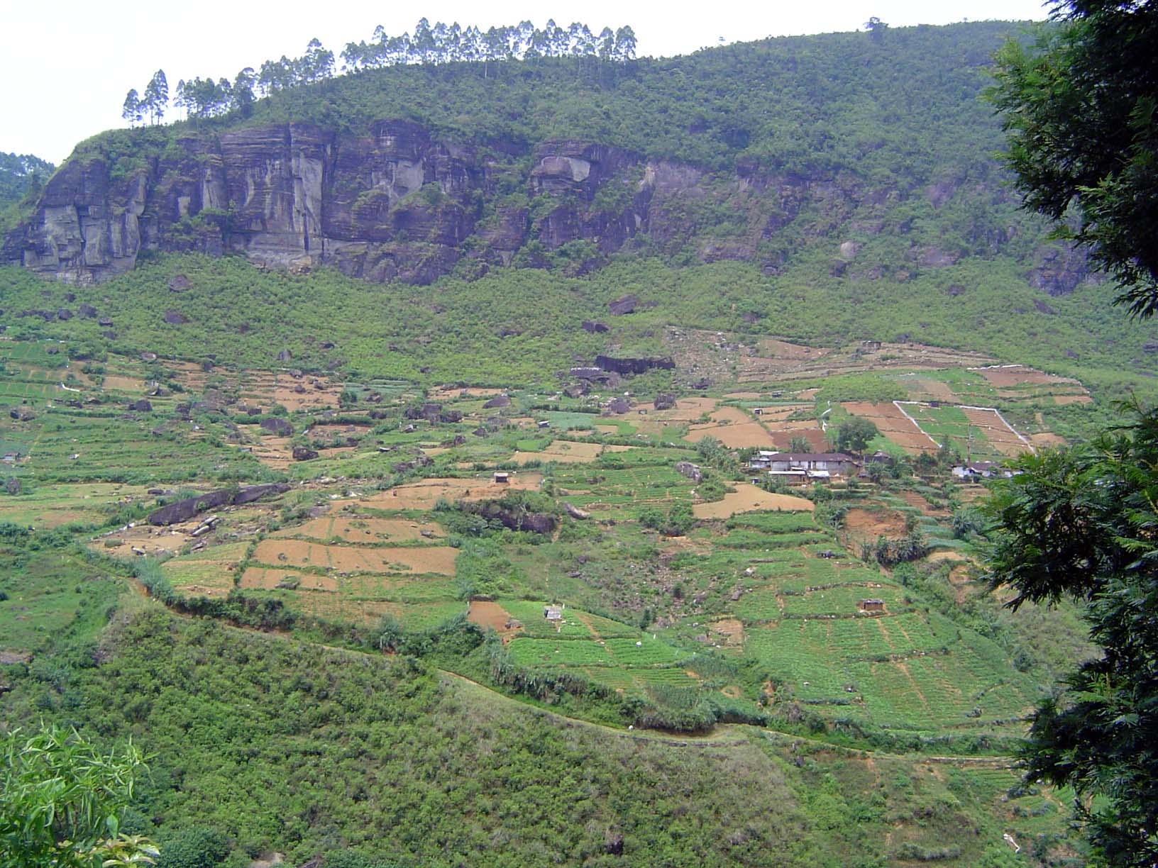
Still, there are plenty of plantations where erosion remains a problem. Here, behind a hairpin on an older stretch of road, a poorly managed block lies next to a properly managed one.
Pickers at work.
They work to the very brink of the new roadcut.
The finished product is stacked in a local tea factory.
Plantation-worker housing on the Oliphant Estate.
Most of the dairy cows in Sri Lanka range at will—and their milk has the unpredictable flavor of whatever they eat. Up here, however, the cooler climate sustains a European-style dairy farm with fenced pastures.
A forested section of the road not yet widened (2005).
As the road approaches Nuwara Eliya, tea meets a competitor: vegetables.
This is where most of Sri Lanka's vegetables come from.
The gardening is as or more meticulous than that on the tea plantations.
Raised beds are common.
Most of the vegetables are trucked to distant markets, but some are sold locally from dozens of roadside stands like this one.
Nuwara Eliya itself, very compact, is surrounded by a larger area of old bungalows, mostly modest.
Here's a good-sized one.
Another, deserted.
Smaller and perhaps more typical.
Roofs are typically of corrugated and galvanized iron.
Flowers are abundant.
Many of the old bungalows have backyard vegetable patches, too.
Such was the case here.
And here.
The town has lots of hotels and guesthouses, which around holidays can be very crowded. Here, the approach to the St. Andrew's Hotel.
The Grand Hotel is fronted by grand cedars.
The hotel itself, semi-grand.
Approach to the Hill Club.
The Hill Club. Pretty grand.
The Billiard Room. Can't be a club without one.
Rules of the Game.
The fenced and guarded Queen's Cottage.
A bungalow for visiting government officers.
The Post Office. The policemen on the left, perhaps used to the coastal heat, are wearing heavy coats. Tourists are more likely to find T-shirts comfortable.
War memorial.
City park.
Holy Trinity Church, 1899.
Interior.
The Hatton Bank.
The local Cargill's supermarket, at the head of Old Bazaar Road.
A colonial relic.
Farther along the same street: the municipal market.
Newer shops along the same street. Not what the nostalgic tourist expects—or wants.
Bit of a mystery. Any ideas?
Come around to the back of this Tudor-fronted building and you see a line of buses. The sign, however, puts English first, which suggests a colonial origin.
An office supported by old rails.
And so it is: until 1950, visitors to Nuwara Eliya arrived by narrow-gauge train from Nanu Oya, a few miles to the west. The old train station was then converted to the bus garage.
Drivers cleaning up at day's end.