Khartoum, taken with its suburbs, is a city of several million people. The core is colonial, but the greater part of the metropolitan area— including a huge ring of impoverished squatter settlements—arose only after the British departure in 1955. Even the upscale neighborhoods are starved for public maintenance, and the whole metropolis is fringed with plastic trash.
Omdurman lies in the distance and can be reached by the cantilever bridge visible crossing the White Nile just above the confluence with the Blue. Central Khartoum lies along the Blue Nile, while the foreground is post-colonial residential. In the far distance is the battlefield where Kitchener won the Sudan back from the Sudanese in 1898; nothing in the city today predates that battle.
A view toward the White Nile and its floodplain gardens just above the confluence with the Blue Nile.
Of all the relics of British Khartoum, the most monumental is Gordon College, now the University of Khartoum. Funded by donations raised peremptorily by Kitchener, the main building now houses the university library. Through this institution, enough Sudanese were brought into the modern world that visitors in the 1950s and 60s could imagine that the country had a bright future.
The same building, taken from the west, under a typical Sudanese haze. The Blue Nile is perhaps 200 meters behind the building.
The British laid out Khartoum's streets as broad avenues—too broad, given the intense sunshine—fringed in the commercial area by buildings rising above arcades.
There's been a lot of disintegration since they left.
The British made some effort to adapt traditional design to contemporary needs.
After the British departed, there was a burst of modern construction owing nothing to Sudan's past. Here: Barlaman (Parliament) Avenue, perhaps the most important shopping street. This picture was taken on a Friday, so the street was unusually quiet.
As of the late 1980s, when this picture was taken, the neighborhood was run down.
Typically severe modern design.
Some of the commercial neighborhoods are much simpler, with single-story shops. Shawqi Seed Stores was established by one of the many Egyptian families who came to the Sudan during the British period.
Working hours: vendors, pedestrians, and modern streetlighting.
Looking west from above the airport. The White Nile is in the distance. The gridded subdivision is "New Extension," planned in the 1950s by Doxiadis and Associates of Athens.
Although the gridded streets of New Extension look modern from the air, things on the ground are different. This is an expensive neighborhood, with very valuable homes behind guarded walls. The once-paved street, on the other hand, is in rough shape, as are all the other infrastructural elements, including water, power, and phones. The water jug on the left is a common sight, a traditional sign of hospitality.
The upstairs patio of one such home, screened with bamboo and watered daily against the severe sun.
A moment of humidity, as the tiles dry.
Downstairs: a small lawn. The house itself is brick, but it has modernist aspirations.
A view from the roof. The watertanks are ubiquitous, testimony to the erratic piped-water supply. You need more than a tank, though: you also need a generator to run the pump, since the electricity supply is erratic and prone to powerful surges. Nights are therefore not as peaceful as you might expect, because the same generators run air conditioners.
An apartment complex in the same New Extension.
A poorer neighborhood, no great distance away.
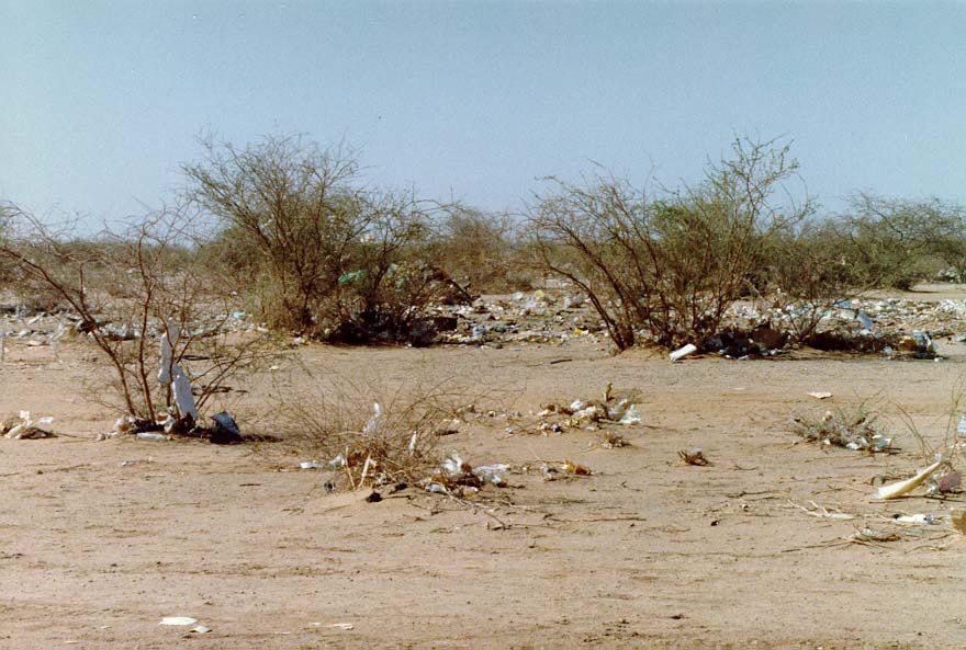
Paper and plastic trash blow across the sand until snagged by shrubs. Squint a bit, or otherwise ignore the trash, and you see the pristine plain upon which the city rose.
Khartoum has a Commonwealth War Graves cemetery, as well as a civilian one. Here, the tombstone of one very late missionary, part of an army not well regarded nowadays but perhaps overdue for a reappraisal.
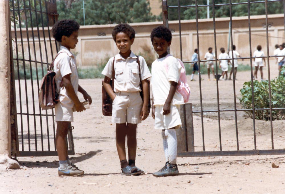
The nation's hope.