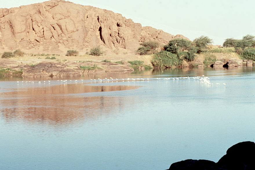
The Nile dominates Northern Sudan as much as it does Egypt.
The Nile near Sabaluka, at the 6th Cataract of the Nile.
The flight from Cairo to Khartoum takes two hours. Amazing how much you miss when you travel that way.
The banks of the river are often irrigated. Here, we're looking upstream on the White Nile, where long narrow fields are irrigated by water electrically pumped from the river.
Farther from water, the country north of Khartoum is intensely arid. Everything is built of stone or, more likely, mud. The occasional tree is an event.
Public meetings are typically held in a tree's shade.
The surrounding plains stretch out forever.
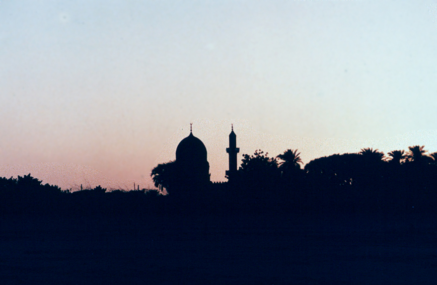
Mosques are important enough to be built in stone.
So is the occasional tomb. This one commemorated a man who had made the pilgrimage to Mecca.
The Blue Nile at Khartoum. The river, flowing from the bottom of the picture, splits around Tuti Island and then joins the White NIle.. Khartoum proper is on the left; Khartoum North is on the right; Omdurman is in the distance, beyond Tuti Island.
A ferry crosses the broad reservoir formed on the White Nile by the Jebel Aulia Dam, upstream from Khartoum but built by and for Egypt. The water creates a very welcome cool breeze.