Home UpLong Island's North Fork
What does Long Island look like, once you escape New York City? That was the question, and here's part of the answer, based on a quick traverse starting at Orient Point, at the eastern end of the island's north fork.
Here it is: Orient Point, the northern counterpart of the South Fork's Montauk Point. Plum Island is in the distance. Since 1954 it's housed the U.S.D.A.'s Plum Island Animal Disease Center, with strains of foot-and-mouth disease frozen in high-security freezers. Manhattan is about 120 miles behind the camera.
The same Orient Point, seen now from the waters of Plum Gut, the passage between Long Island and Plum Island. The light is the same as the one shown in the previous picture. The scattering of houses is mildly ominous, if you're expecting countryside.
The ferry from New London, Connecticut, docks just a few hundred yards beyond Orient Point, on the south or Gardiner's Bay side.
The ferry terminal.
Highway 25, traversing Long Island, either ends abruptly at the ferry or starts there.
Orient Point is a county park, but none too welcoming.
Private landowners are no more hospitable. I'm looking for the trip wires. Maybe they're buried? Can't be too careful, especially because I left my ninja gear at the house.
Fronting the park, here's one of big new houses seen from the ferry.
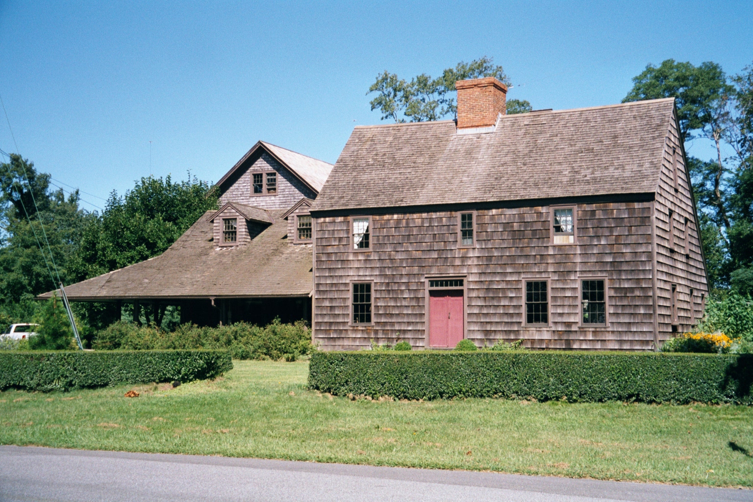
Plenty of older houses survive, mostly along the roadside and set well back.
Another example.
Older still? Hard to tell, but the shape and color seem almost autochthonous. (No worries: I don't charge extra for fancy words.)
First town: Orient, four miles from the ferry. Can you guess the denomination?
The answer.
A house about as upright as a house can be.
Less constricted.
Another five miles: Greenport. We're still way out on the island and less than ten miles from Orient Point, but the commercial development and traffic hint at what lies ahead.
Looking the other way: things do thin out.
Another ten miles: Cutchogue High School, midway out the North Fork.
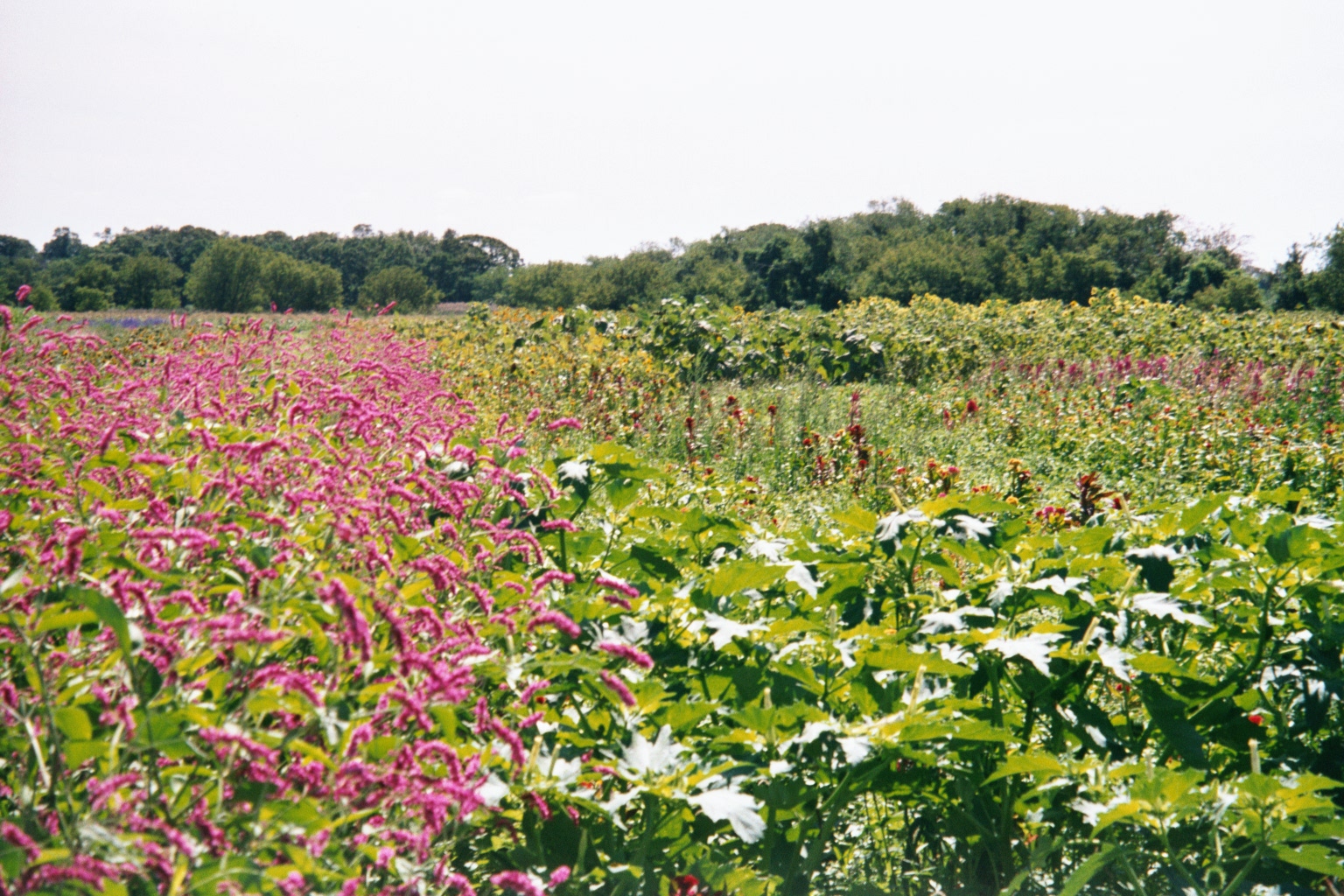
Potatoes are pretty well gone from Long Island, but some survive. A lot of the kids who went to that high school years ago helped pick these fields.
The old fields are put to many uses.
Another option.
And another.
A fruit farm hangs on.
Primeval road on that farm.
Nearby, some pioneer buildings are preserved as a museum.
Doorway.
Conversion—in this case from a church to a public library.
McDonald's on its best behavior, even if the landscape architect was having a bad day.
Another dozen miles to Riverhead, seat of Suffolk County.
The Peconic River flowing eastward to Peconic Bay, which separates the island's forks. We're still 70 miles to New York City.
Upstream a bit.
Banker's gravitas, 1899 model.
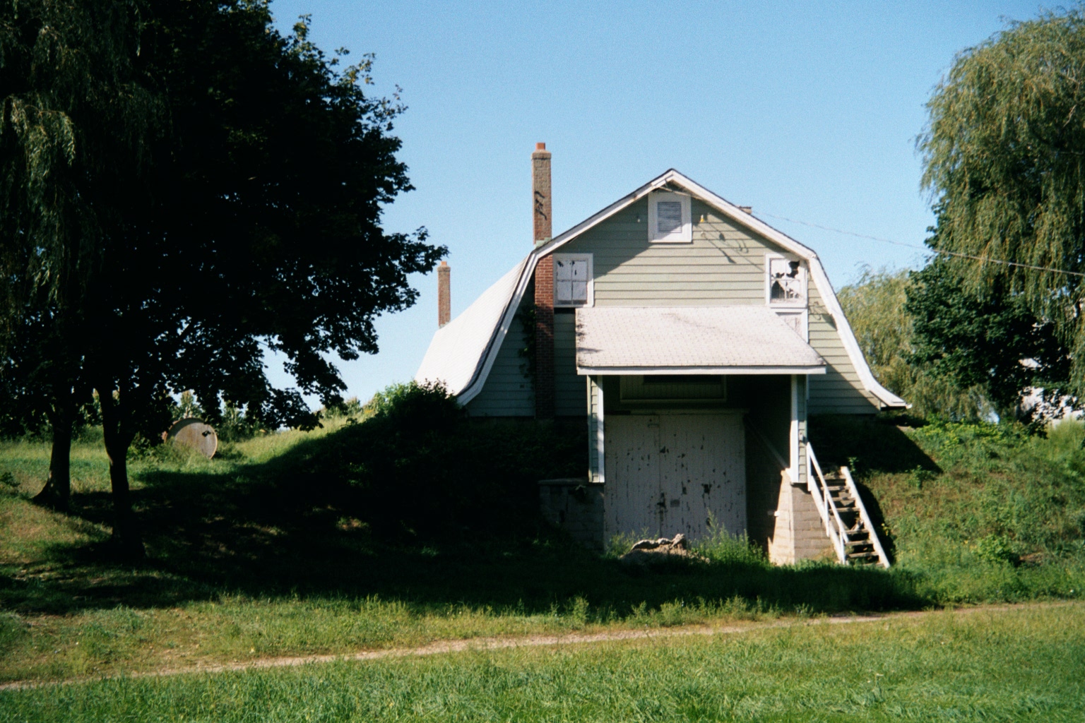
A surviving potato house: loaded from the top at the back, emptied from the bottom front. Nice and cool inside, with potatoes in walk-in bins.
Bigger than I'd have expected and not an entirely happy juxtaposition, considering that we're close to the Brookhaven National Laboratory and the Naval Weapons Industrial Reserve Plant.
Just in case you're wondering if we're yet within civilization's force field: here's the Starbucks I ever saw with a drive-thru, so novel that it merited a sign. We're in Coram, about halfway across the island. From here on west, you don't want to know.