Home UpNorman 2a Norman's Wartime Expansion
During World War II, Norman's South Base and North Base, both run for naval aviation, grew very quickly. The bases closed after the war, but South Base reopened during the Korean War. Here, one of the surviving North Base hangars.
Another North Base survivor. It looked pretty tired in 2009, and was demolished soon afterwards.
Old sidewalks hang on longer.
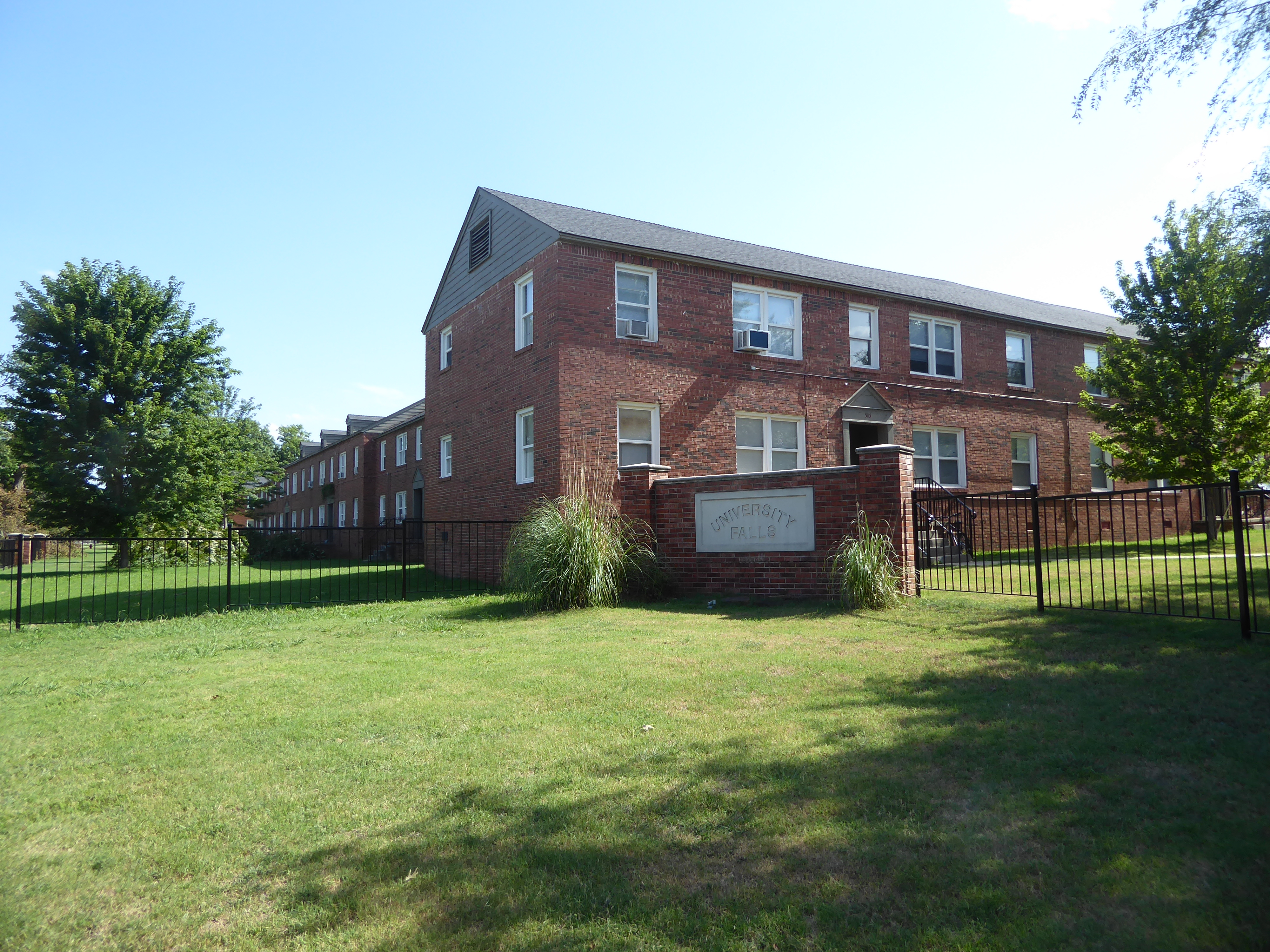
Here are some apartments built in 1943. The units have been sold repeatedly, mostly recently in 2012 for $1.4 million to a couple in Southern California. Rent for a 1-bedroom apartment in 2017 was $655. Where and when the absurd name arrived is anybody's guess.
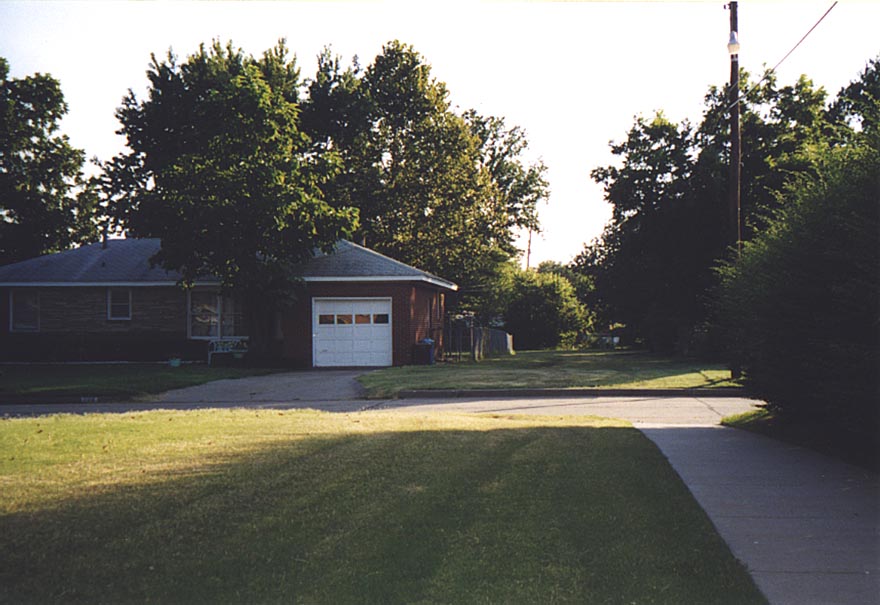
Housing of the era could be very simple.
Lines of houses popped up through the 1940s—in this case on Iowa Street.
A bit bigger and newer.
Fancier things were coming. This archetypal house of the '50s looks typical of the time, but there's something very special about the two blocks on which this particular house sits. Watch as we mosey over to the far side, so dark in this photo.
A planner showed the developer how to make money by leaving a public park in the center of each of these two blocks, a park situated so that every house had a private back yard as well as frontage opening onto the public space. The lots in Woodslawn Addition (1952) sold quickly, because the interior park had a lot of appeal. (The diagram prepared in support of his argument in shown in the folder called Norman in Maps.)
Lee Rodgers, the university planner who sold Cecil Woods and W.H. Barbour on thelayout, hoped that the public park would be developed, but that never happened, presumably because Americans bowl alone. Nor was this scheme ever repeated in Norman, except once in the 1980s, with mixed results that are shown later. Still, grid development lost its appeal and was quickly replaced by winding streets.
Standing in the access path and looking back to the street and the access path to the park in the adjacent block. An elementary school sits at the far end of the second park, which means that children can walk to school through parks and with only one street crossing.
Main Street makes a 45-degree bend as it corrects from the original townsite grid (in the background) to an east-west alignment. The town's first shopping center was built here about 1950. The brick median lasted until 2017.
Then it bit the dust, leaving the concrete curbing as a bit of heritage for anyone who noticed.
Here's Norman's first shopping center, the University Downtown Center.
Houses were demolished to make room for it. For a while, there was a Penney's here.
The back of the shopping center remains almost untouched from its earliest days.
Other box-shops popped up on other arterial roads. This classic from 1955 survived until sometime after 2000, when it became a liquor store. It's close to campus and on Lindsey Street, an arterial.
Oops! We need a board monitor, somebody who can wipe it clean so we can start over. That's life. (2019)
Headline from the Norman Transcript, November 26th, 2007: "Police Disburse Mob at Skateland." A later story explained that "several Greek fraternities, no longer allowed to have parties on campus following the alcohol-related death of a fraternity pledge at the University of Oklahoma three years ago, approached the Skateland owners seeking a venue large enough to host college dance parties." The owner said, "I do not want to have any more parties that I don't have 100 percent control over." Upshot: the rink was sold the next year and continues to operate. The sign is the original, except that carries a new name, Starskate.
Just down the street, the Hollywood Mall was anchored for many years by a Safeway. The company's Oklahoma division was sold off to become Homeland; somewhere along the way, the store lost the curved-roof characteristic of Safeway.
Top o' the line housing from the 1960s: the home of the university's president from 1969 until 1996.